
The Plateau of Tibet: Location and Geographic Significance
The plateau is bordered by several mountain ranges, including the Himalayas to the south, the Kunlun Mountains to the north, and the Tanggula Mountains to the east. Its unique geographical features have had a profound impact on the climate, ecology, and human settlement patterns in the region. The Plateau of Tibet serves as the source of several major rivers, including the Yangtze, Yellow River, and Indus, which are crucial for the livelihoods of millions of people in Asia.
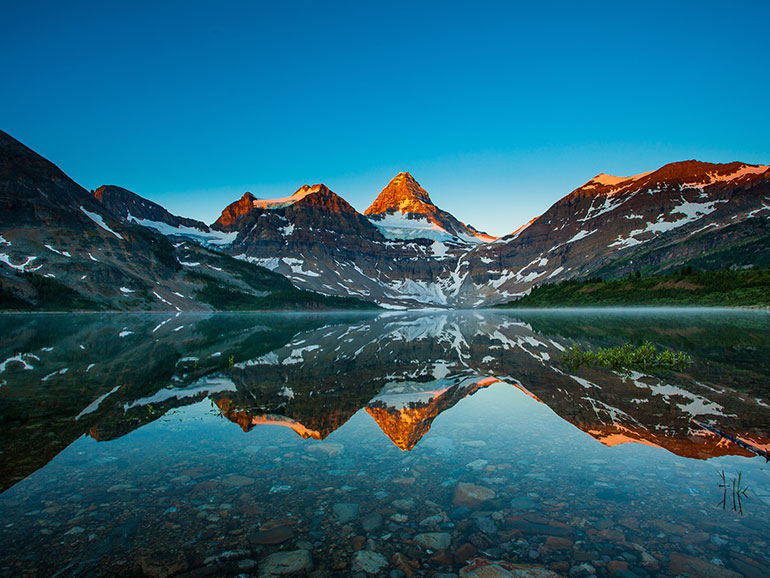
Geographically, the Plateau of Tibet is characterized by its rugged terrain, which includes vast plains, high mountain ranges, and numerous lakes and rivers. The terrain is predominantly arid, with sparse vegetation and a harsh climate that experiences extreme temperatures and strong winds. Despite these challenges, the plateau supports a variety of plant and animal species adapted to its harsh conditions.
Historically, the Plateau of Tibet has been a significant cultural and political region. It has been inhabited by Tibetan peoples for centuries, with their unique traditions, language, and religion playing a central role in the cultural identity of the region. Tibetan Buddhism, which originated in the region, has had a profound influence on the spiritual and cultural practices of the Tibetan people.
In contemporary times, the Plateau of Tibet continues to be a region of strategic importance for China. The Chinese government has invested in infrastructure development, including roads, railways, and airports, to improve connectivity and promote economic development in the region. Additionally, the plateau's natural resources, such as minerals and water, are of significant interest for economic exploitation.
In summary, the Plateau of Tibet is a geographically and culturally significant region located in western China. Its high altitude, rugged terrain, and strategic location have made it a unique and important area both historically and in modern times.
Top Comments
No Comments Yet